Looking down into the brackish water, the Trash Cam gives us an eye into how plastic pollution is impacting the Alamitos Bay ecosystem. What do you see?
Where is the Trash Cam located?
Algalita’s Trash Cam is located in Southern California, in Alamitos Bay right next to the Oceanographic Research Vessel (ORV) Alguita – the boat that Capt. Moore has sailed for many years researching microplastics in the North Pacific Gyre.

The ORV Alguita loaded up and ready for an expedition to study microplastics in the North Pacific Ocean. Photo credit: Algalita

Setting up the webcam under the dock. Photo credit: Algalita

Use this map to see where Alamitos Bay is located. View map

Aerial view of Alamitos Bay, Marine Stadium, and The Colorado Lagoon in Long Beach, CA. “Alamitos Bay photo D Ramey Logan.jpg from Wikimedia Commons by D Ramey Logan, CC-BY 4.0”

The webcam looks straight down at the water. The concrete pilings are aligned along the East-West plane. The distance between the concrete pilings is 2 1/2 feet which is about 3/4 of a meter. Photo credit: Algalita
What is the history of Alamitos Bay?
Alamitos Bay is a low-lying coastal region on the Pacific Ocean, on the coast of Southern California. This area is home to the indigenous Tongva people. The Los Angeles Basin and area that is now LA and Orange Counties used to be a marshy, wetland area bordered by the foothills of the San Gabriel Mountains.
How is Alamitos Bay connected to the other waterbodies around it?
Using this map, you can see the storm drains, culverts, and channels that drain the urban area of Long Beach to the Alamitos Bay.
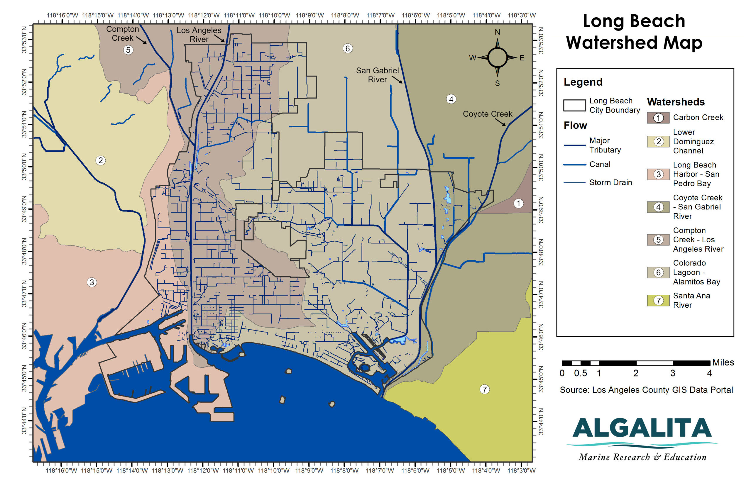
What is a watershed?
A watershed is an area of land that drains to a waterbody such as a stream, river, lake or ocean. This map shows the different watersheds in the city of Long Beach. The Colorado Lagoon and Alamitos Bay are connected bodies of water that receive much of the rain that falls in Long Beach, and the pollution that gets washed downstream with it.
How do the tides and wind impact the flow of water and debris through Alamitos Bay?
In the watershed map, you can see that the Alamitos Bay is connected to the ocean via a channel. As the tide goes in and out, ocean water washes into and out of Alamitos Bay. This helps keep the bay water clean and brings nutrients into and out of the bay.
Wind also has a big impact on the direction that the surface water in Alamitos Bay moves. The wind also pushes along any floating debris. You’ll usually find hotspots of plastic pollution in areas where the wind pushes the debris up against a wall, dock, or edge of the water.
Compare the real-time data on this weather app to what you see in the live cam! Make sure you’ve adjusted the toggle on the map to represent the time in California which is in the Pacific Time Zone. Think: how might the wind and tides be influencing how much trash you see in the Trash Cam right now? Is the tide coming in or going out? Is the wind pushing water past the Trash Cam, or toward it, how fast is the surface water moving? Has it rained recently? *Tip: You can also use clues in the live Trash Cam to determine how high or low the tide is, how windy it is, and the weather!
Sources and sinks: How is plastic pollution getting into Alamitos Bay and where does it end up?
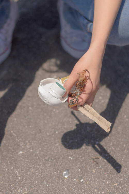
Plastic pollution in Alamitos Bay comes from many different sources. Much of it washes from surrounding industries, businesses, and communities into storm drains, channels, and rivers that empty into the bay. Some of it is litter left by people enjoying the bay. Tides and wind also bring in debris from the ocean where it might have already travelled a long distance. Some debris might be coming from plastic used in boating or fishing activities. Even the foamy plastics used to help docks float could be contributing plastic pollution to the water.
The plastics often accumulate in certain areas of the bay as explained above, or they might get washed out to sea with the tides and wind. Some might sink to the bottom of the bay where they may harm the benthic organisms which live on or in the sediments. Others might wash onto the beach where a beachgoer might pick it up during a cleanup.
In the winter months of November to February, Southern California usually gets a couple big rain storms. The first one is nicknamed “the first flush” since it usually washes a deluge of debris from the metropolis of Los Angeles County and Orange County down stream to the Long Beach Coast, including Alamitos Bay.
Here are some “first flush” photos:

The mouth of the San Gabriel River in 2019. Photo credit: Katie Allen.

Ballona Creek in winter of 2002. Photo credit: Bill MacDonald.

Alamitos Bay in January 2022. Photo credit: M. Almquist.
What marine life might you see in Alamitos Bay?
Use this identification card from the Aquarium of the Pacific and USC Dornsife to see what kinds of flora and fauna you can identify in the Trash Cam. (**Although this identification card is for tide pool habitats, many of the same plants and animals are found in the sandy intertidal Alamitos Bay, which used to be a natural wetland and marsh area.)
One animal you might see often in the livecam, is a stingray. They thrive in the flat sandy environment of the bay. Check out this article all about our local stingrays from the Shark Lab at California State University, Long Beach.
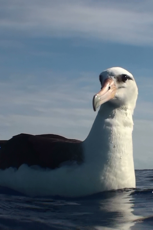
This area is also home to many sea birds, which you might see paddling or swimming by. Here is a blog with many of California’s coastal birds.
Alamitos Bay is also home to some sea lions. They can sometimes be seen swimming around the channels. Alamitos Bay is also visited once in a while by dolphins and even whales! Here is a video of a baby Grey Whale found swimming through Alamitos Bay in 2019.
How do you think the wildlife might be impacted by the plastic pollution in the bay?
Related Resources
Lesson: Sources and Sinks
How does plastic get into and impact ecosystems?
Grades 4 and up
30 to 60 minutes
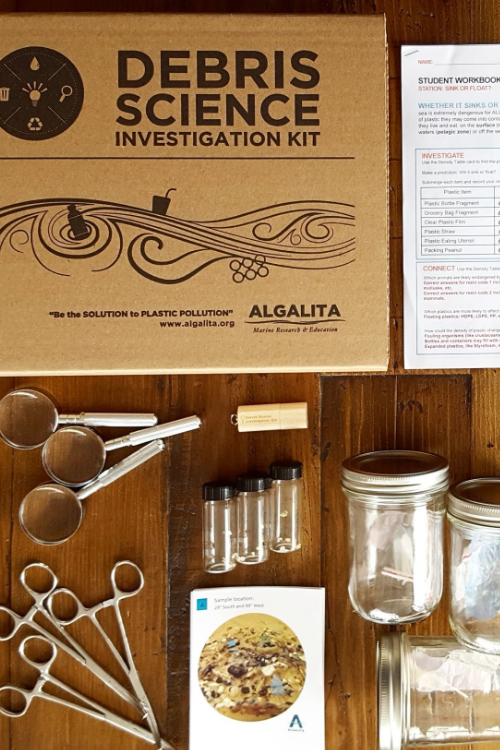
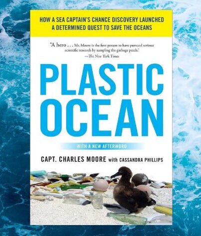
Toolkit: A Plastic Ocean Teaching Kit
Investigate the impacts of microplastics on our oceans with 3 rotating activities.
Grades 5 and up
50 minutes
Students Take Action!
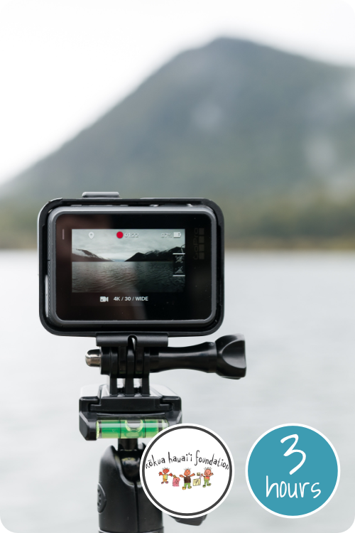
Get Creative With Artivism
Raise awareness of plastic pollution by recording a song or creating a video.
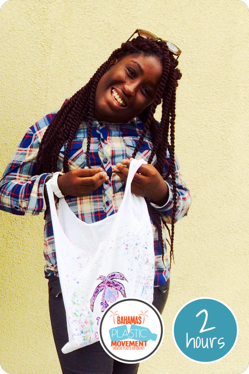
Create a Better Bag
Check out this simple and cheap way to make a reusable bag.
Explore more
Plastic Pollution Basics
A quick crash course on plastic pollution and what we can do about it!
Learn more
Take a Swim in the Plastic Soup
Take a virtual swim through a plastic pollution accumulation area in the North Pacific Ocean.
Learn more